My latest hiking adventure was particularly cool for two reasons, the first being that I finally got up Ben Lomond, and the second being that I met up with a local hiking group for the first time in the hopes of making some new connections.
Ben Lomond is one of the most popular mountains in Scotland as it is a “Munro” (over 3000 feet), it is close to Glasgow relatively, and it is on the shores of the beautiful Loch Lomond. Although ascending it is pretty easy (there is a trail referred to as the “tourist” trail leading up from the carpark) I liked the route we took because it went up the more challenging and less busy Ptarmigan Ridge route.
The hiking group I connected with is part of ramblers.org.uk (the STRATHKELVIN RAMBLERS) and it was a fun group to join up with. I was one of two newbies joining that day, the other being a woman who was previously training for ultramarathons, so I was in good company. The group was welcoming and I appreciated getting to meet some new folks. One of the members (Bob) even has some kayaks available! They organize hikes every week, so I’ll be lucky if I get out for one of those a month, but it is nice to have that option now.
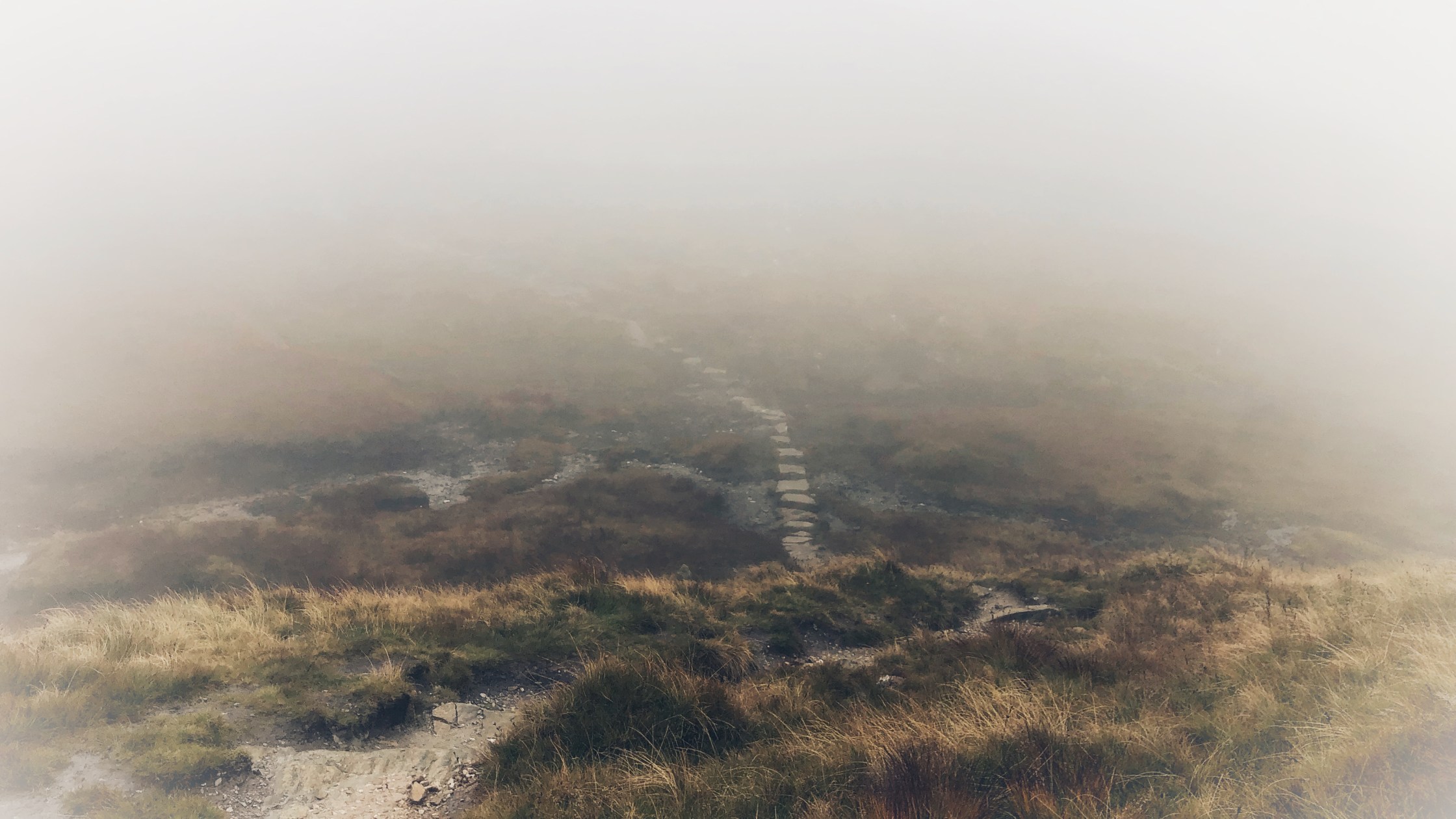
Overall the hike was misty and warm on the way up, totally socked in, cold, and raining at the top, and then misty and warm again on the way down. We didn’t get much in the way of views, but the scenery on the way down was still really cool.
Undoubtedly it was a fun day out on the hills!
Check out the fly-through of where we went:
Here is the route:
Download file for GPSHere is my Garmin tracker from the hike:
Finally, a few videos and photos from the day:


Felt like another planet on the top. 

Another trig point! 


There are the views I was expecting. 
The memorial to war vets at the bottom is pretty cool. 
New backpack for hiking 👍🏼


Comments welcome!