I was lucky enough to get out on another hike this past weekend in the Scottish hills with my brother-in-law Gary, this time the destination was the Ochil Hills, located northeast from where we stay in the village of Chryston.
I’ve only been on a few hikes so far this year, but have been pleasantly surprised on each one. These hills are masters of deception. It always seems like they aren’t that tall, or that there isn’t much on them, but once you are in them they seem to grow in all directions right before your eyes.
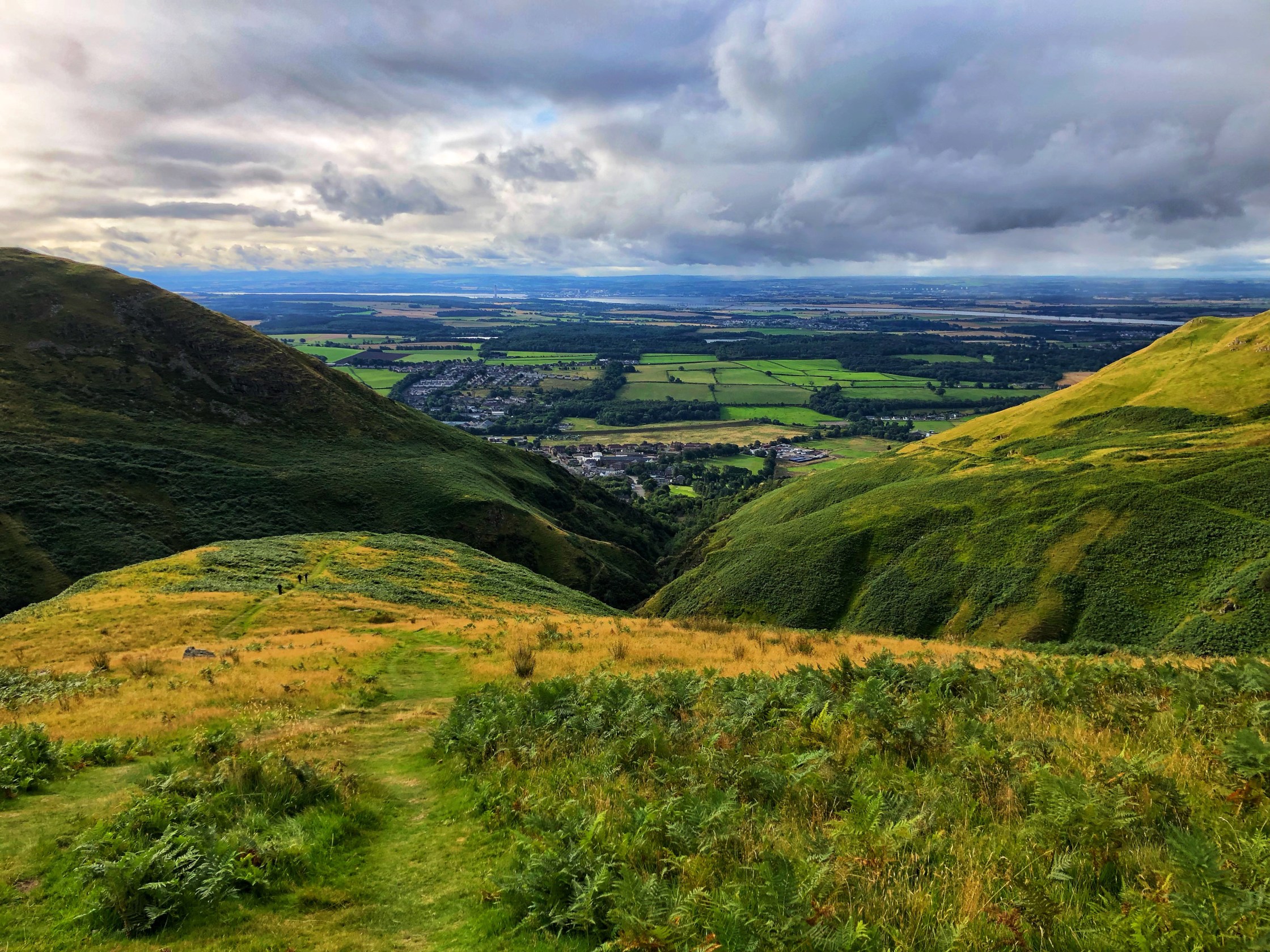
Download file for GPSThis was a great circular route to the tallest peak in the Ochils, Ben Cleuch, at 2300 ft. While it was easy navigating (virtually the entire route was on a clearly visible trail of some kind) the elevation gain and steep ascent/descent into the river valleys at each end of the hike still made for a good challenge. We started and ended in Alva Glen and the whole thing took us 3 hours and 41 minutes with probably around 20-30 minutes worth of resting sprinkled in throughout.
Here are some additional notes from the trip:
👖 Full-length trousers and boots were in full force this time, but I need to invest in some gators and/or waterproofs (as well as a proper daypack) for future hikes as the weather gets wetter
🎣 There were a few hikers we saw with poles, might be useful at times but still have a general aversion to carrying things in my hands.
🧭 The Ordnance Survey Maps app and ability to create my own routes and track them is pretty nice, it has made navigation on these hikes really easy.
🗺️ I’ve been slowly learning about map and compass navigation (despite relying on the app) because it is, well, interesting and won’t run out of batteries.
I recorded the hike via my Garmin (but without automatic pauses during our short breaks):


The next hike we have planned is to The Cobbler aka Ben Arthur in October. 💪🏼


Comments welcome!