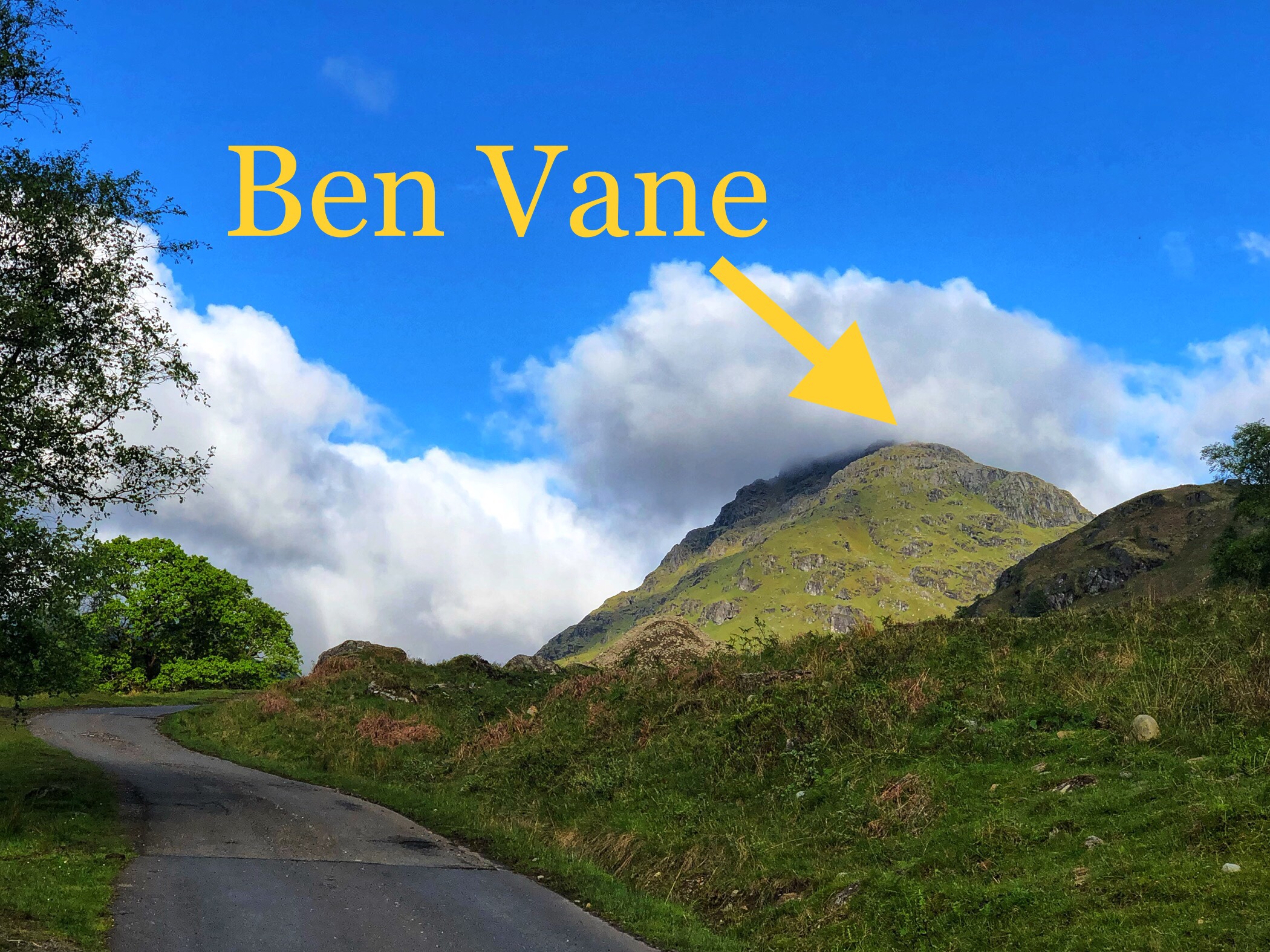
As has been my ritual this past year, I just got out on my monthly hike. This round I tackled Ben Vane, the shortest Munro in Scotland but not the easiest climb. It’s surprisingly rugged and relentlessly steep all the way to the top. In other words, a perfect challenge for a sneaky midweek hike!

Ben Vane (Scottish Gaelic: A’ Bheinn Mheadhain) is a Scottish mountain situated in the southern Highlands. The underlying geology almost entirely comprises the Beinn Bheula Schist Formation – psammite and pelite with a Siluro-Devonian dyke prominent round the northern and eastern face. […] Ben Vane itself just qualifies as a Munro reaching a height of 915 metres (3,002 feet) and is characterised by steep and rugged slopes which fall away to the Inveruglas Water to the east and the Allt Coiregroigan to the south;

The weather was typical Scotland spring weather, kinda warm but sometimes not, with multiple rain showers followed by glorious sunshine. It was pretty nice all in all.

The walking itself was super challenging due to the steep nature of the terrain and, as a result, it took me much longer than I thought (three and a half hours).


The peaceful solitude, the stunning colors, the physical challenge…basically all of the best parts of getting out on the hills in Scotland were in full effect today. I wish I could get out a bit more but once a month feels about the max I can ask for at the moment. I’m grateful for any time I can get on an outdoor adventure.
More stuff below that you probably don’t care or need, like a map of the route along, my Garmin activity tracker from the hike, and more photos.


Comments welcome!